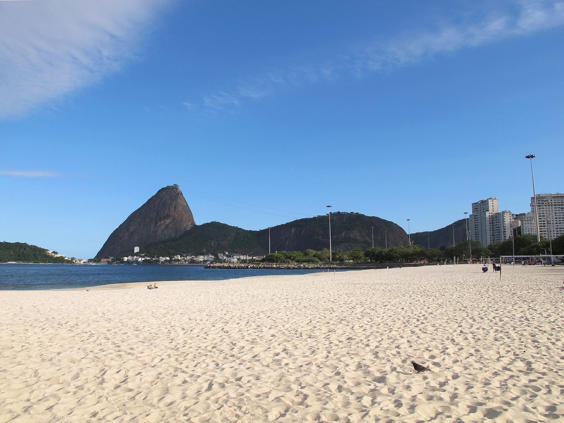
Between the old centre of Rio and the curve of Botafogo Bay, a long, green park lines the shore of Guanabara Bay. This is the Parque do Flamengo, usually called the Aterro do Flamengo, the Flamengo Landfill, because the land it stands on did not exist until the 1960s. It was built by filling in the bay with earth from a hill that was levelled nearby, and then landscaped into one of the largest urban parks in Brazil.
Walking its length, with the bay on one side and the city on the other, and the Sugarloaf growing ahead of you, is a gentle and beautiful way to cross between the centre and the south zone.
A park made from a hill
In the mid-twentieth century, Rio's traffic was choking the narrow streets between the centre and the southern beaches. The solution was to build new roads on reclaimed land along the bay. Rather than leave the land as a motorway corridor, the city commissioned a park, designed by a team that included the landscape architect Roberto Burle Marx and the architect Affonso Eduardo Reidy.
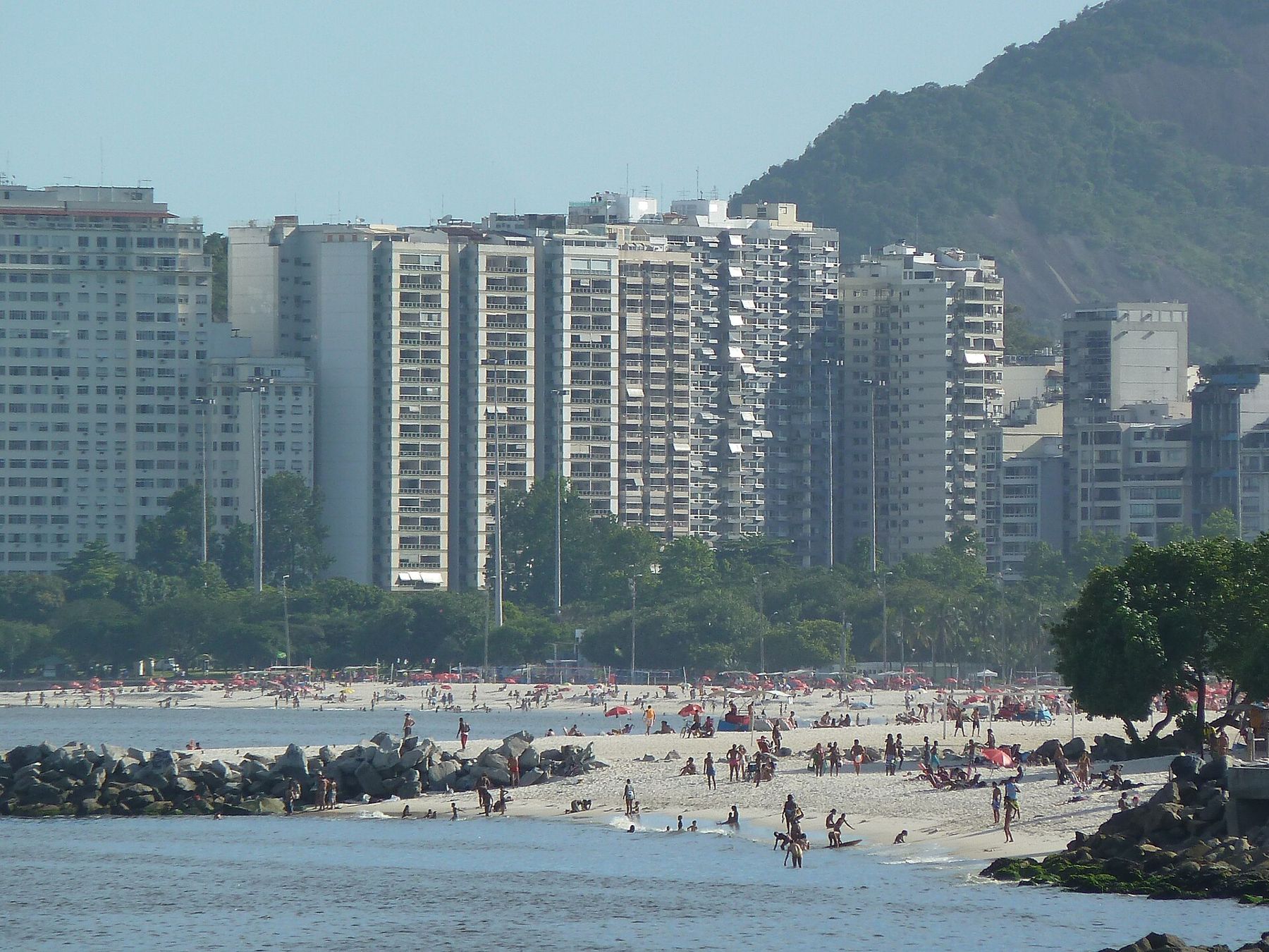
Burle Marx planted the park with thousands of trees, many of them Brazilian species, arranged in groups and avenues. Over the decades they have grown into a mature landscape of shade and colour, with lawns and paths leading down to the water. Look for the flowering trees in spring and early summer, when parts of the park turn yellow, pink and purple.
The Museum of Modern Art
At the northern end of the park stands the Museu de Arte Moderna, a striking modernist building of concrete and glass raised on angled supports, designed by Reidy and completed in stages from the 1950s. Its gardens, designed by Burle Marx, include patterned lawns and paving. The museum holds a collection of modern and contemporary art and hosts exhibitions; check what is on and when it is open.
Even if you do not go inside, the building and its gardens are a fine starting point for the walk, and the open space beneath the raised galleries frames the bay and the Sugarloaf.
Along the bay
From the museum, walk south through the park along the waterfront. The path passes the Marina da Glória and its boats, a memorial to the Brazilian soldiers of the Second World War, sports grounds and playgrounds. Across the water, the hills of Niterói rise on the far side of the bay, and the ships and ferries come and go.
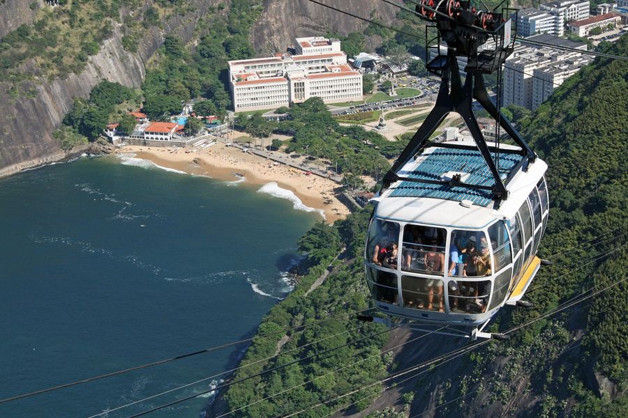
Ahead, the view grows steadily: the curve of Flamengo beach, the round shape of the Sugarloaf with the cable cars crossing to it, and the peak of Corcovado inland. Some of the best views of the Sugarloaf in the city are from the southern end of the park.
The park also holds the national memorial to Brazil's soldiers who died in the Second World War, a modernist monument with tall columns and a museum below, where the remains of soldiers are kept. It is a place of quiet respect; keep voices down near it.
Further along, an old seaplane hangar and a small airport across the water show how close the city's runways are to its parks. Planes landing at the domestic airport pass low over the bay, an unexpected sight from the lawns.
Flamengo beach
The park ends at Flamengo beach, a long sandy beach on the bay rather than the ocean. The water here is calm, though water quality in the bay has often been poor; check local advice before swimming. The beach is still a fine place to sit and look at the Sugarloaf and the boats.
From the end of Flamengo, the walk can continue along the shore of Botafogo Bay to Botafogo itself, where the classic view across the yachts to the Sugarloaf awaits.
Botafogo Bay is one of the classic views of Rio. Yachts ride at anchor in the calm water, the beach curves round to the foot of the Sugarloaf, and the Morro da Urca and its cable cars complete the picture. Late afternoon light from the west is best, warming the rock and the boats. A short walk further brings you to the start of the road towards Urca and Praia Vermelha, where the walk under the rock begins.
Sundays on the Aterro
On Sundays and holidays, the main roads through the park are closed to traffic, and the park fills with cyclists, skaters, runners, families and picnics. It is the liveliest and safest-feeling time to visit, and a great way to see how residents use their city. Football games spread across the pitches, and the long, open road becomes a promenade.
Practical notes
- Visit by day, ideally on a Sunday morning, when the roads are closed and the park is full of families.
- Bring water and a hat: shade is good in places but not everywhere, especially near the beach.
- Stay on the main paths; avoid quiet, isolated corners of the park, especially after dark.
- Combine with the old centre to the north or with Urca to the south.
From the northern end, the centre's churches and squares, described in Centro by day, are a short walk or tram ride away. From the southern end, the Sugarloaf neighbourhood of Urca, with its flat path under the rock, is covered in Urca: the Cláudio Coutinho path.