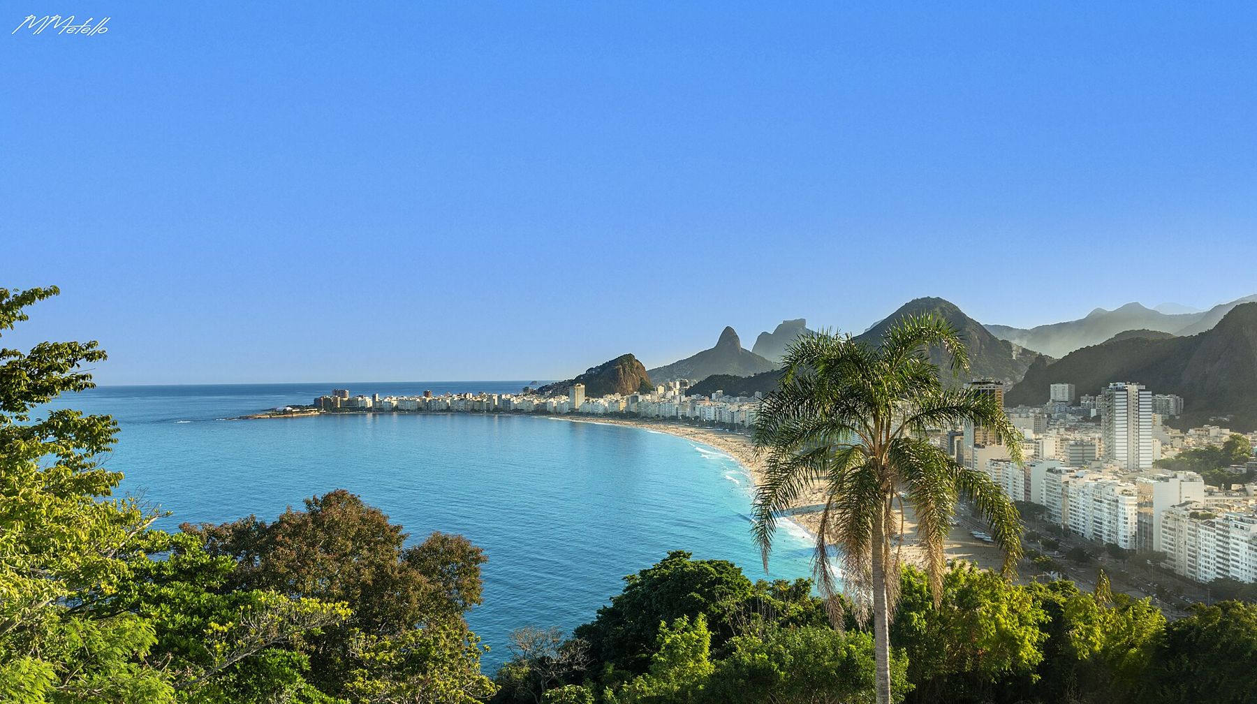
Copacabana's long beach ends at its northern tip against a green, rocky hill. This is Morro do Leme, and on its top sits Forte Duque de Caxias, often called the Leme fort. A short walk up a paved military road brings you to the walls, from where the entire curve of Copacabana opens out below you, with the Sugarloaf on one side and the open Atlantic on the other.
It is one of the best views in Rio for the effort, and one of the least crowded.
Where the walk begins
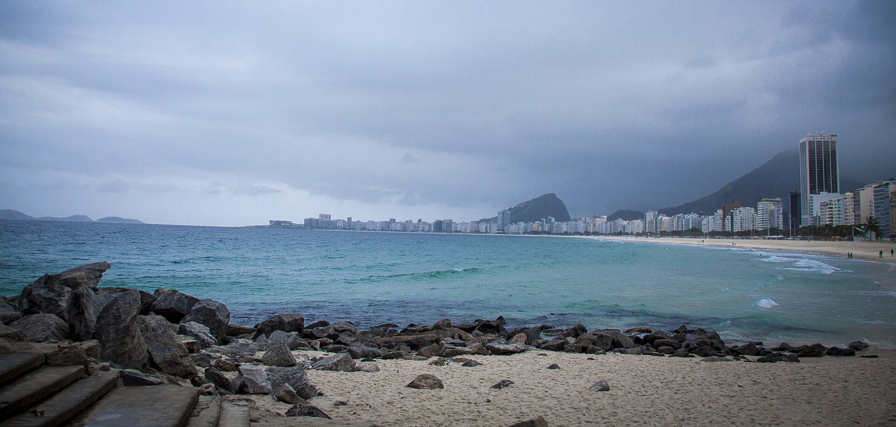
The entrance is at the far end of Leme, the quieter stretch of beach at the northern end of Copacabana, near the small square of Praça Almirante Júlio de Noronha. Here the beach ends at a rocky point where fishermen cast lines from the stones, and a gate leads onto the military land of the hill.
The area belongs to the army, so access is controlled. The fort and the road up are usually open to visitors on most days during set hours, with a small entry fee; times and days change, so check before you go. You may be asked to show identification.
The climb
The route up is a paved road of under a kilometre, winding steeply through Atlantic forest. It is shaded for much of the way, which helps on a hot morning, but the gradient is steady and sometimes steep. Most people take about 20 to 30 minutes at a relaxed pace. Benches along the way give a chance to catch your breath.
Listen and look as you climb. The forest on the hill is protected, and it holds birds, lizards and small marmosets. Butterflies drift across the road in the warmer months. This patch of green, rising directly above one of the busiest beaches in the world, is a reminder of how much forest Rio still keeps on its hills.
The fort and its view
The fort on the summit was built to guard the approaches to the city and the entrance to Guanabara Bay. Its walls, gun positions and observation points are well preserved. A small exhibition and signs explain its history in general terms.
The real draw, though, is the view. From the walls you look straight down the length of Copacabana, with its line of buildings, the wave pattern of the promenade and the beach curving away towards the fort at the far end. Turn the other way and the Sugarloaf, Urca and the mouth of the bay stand close. On a clear day, the islands off the coast and the hills of Niterói across the water are sharp on the horizon.
Take a moment, too, to look along the coast to the south. The beaches of the south zone follow one another round the coast: Copacabana, then Ipanema and Leblon beyond the point of Arpoador, backed by the two peaks of Dois Irmãos. Behind them the green mountains of the Tijuca massif rise steeply, with the statue on Corcovado standing out on its peak. From here the whole layout of the southern city makes sense in a single glance, and it is a useful way to plan the rest of a visit.
Bring binoculars if you have them. Ships waiting to enter the bay, fishing boats, surfers and the beach volleyball games far below all come into view.
When to go
- Early morning gives the softest light, the coolest air and the quietest walk.
- Clear days make the most of the view; haze and cloud are common in summer afternoons.
- Weekdays are quieter than weekends and holidays.
- Avoid the hottest hours if you are not used to the heat, even with the shade.
Back down and onward
Allow time at the top and walk the whole circuit of the walls. Many visitors spend as long on the walls as they did on the climb, moving from one viewpoint to another as the light changes. There are places to sit in the shade, and the breeze at the top is a relief after the walk up.
Walk down the same road. At the bottom, the obvious next step is to turn along the beach and follow the wave pavement south, the walk described in the promenade from Leme to the Copacabana fort. Alternatively, cross the hill by road to Urca and its flat path under the Sugarloaf, as in Urca and the climb to Morro da Urca.
The Leme end of the beach is also a good place for a swim before the crowds arrive, and the fishermen on the rocks at the point are often at work early. It is a calm start to a day by the sea.
Before you leave the Leme end, walk out along the stone path at the foot of the hill, where it meets the sea. Fishermen often stand on the rocks here with long lines, and on calm days the water below is clear enough to see fish. It is a quiet counterpoint to the busy beach behind you.
A note on the hill
The slopes of Morro do Leme also hold communities on their far side, reached by other routes. The walk described here stays on the military road inside the controlled area, which is well used and staffed during opening hours. Do not try to leave the road or take other paths across the hill.